Showing posts with label DD GEOGRAPHER. Show all posts
Showing posts with label DD GEOGRAPHER. Show all posts
Wednesday, January 18, 2017


FUN @ Geographical tour to Shikari Devi in Himachal Pradesh, INDIA
Geographers from HPU enjoying at Shikari Devi Hill in District Mandi, Himachal Pradesh, India on 1st January 2017
Saturday, May 21, 2016
Health of Geography
Geography in INDIA is dying swiftly, because of certain reasons. But prime cause is that Geographers associations failed to nurture this subject of great importance. Himachal Pradesh is also one of the victim of this situation. In general Geography is taken as a fundamental and very good subject, but when we see it as a curriculum subject its position is worse. Reasons are many but the prime one is that professors are still waiting for right moment to raise voice for this cause. They may be right at their place because of their well settled social life. Subject is not best only for the employability but also for the natures welfare in every dimension.
Dr. Dhan Dev Sharma
Himachal
India

Monday, July 9, 2012


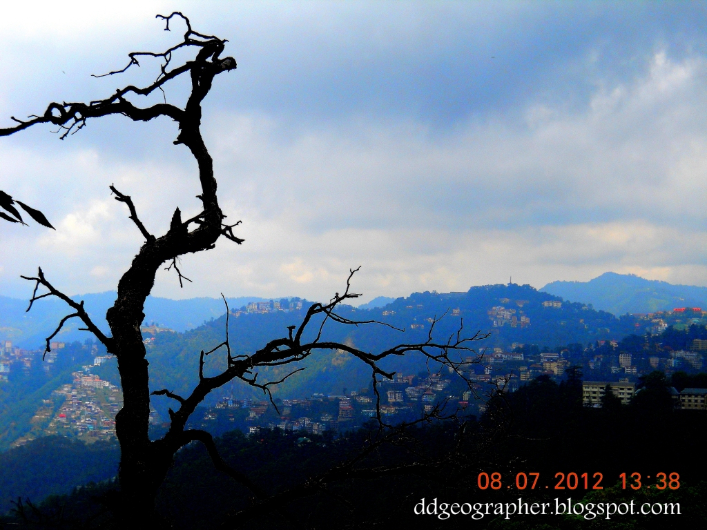

Friday, June 29, 2012


Tuesday, May 1, 2012
Active Microwave Remote Sensing
Active remote sensors create their own electromagnetic energy that is transmitted from the sensor towards the terrain (and is largely unaffected by the atmosphere), interacts with the terrain producing a backscatter of energy, and is recorded by the remote sensor's receiver. The strength of the backscattered signal is measured to discriminate between different targets, and the time delay between the transmitted and reflected signals determines the distance to the target. Active microwave sensors are generally divided into two distinct categories: imaging and non - imaging. The most common form of imaging active microwave sensors is imaging RADAR. RADAR is an acronym for Radio Detection And Ranging, which essentially characterizes the function and operation of a radar sensor. Non - imaging microwave sensors include altimeters and scatterometers. In most cases, these are profiling devices which take measurements in one linear dinension, as oppoosed to the two- dimensional representation of imaging sensors. Radar altimeters transmit short microwave pulses and measure the round trip time delay to targets to determine their distance from the sensor. Generally altimeters 'look' straight down at nadir below the platform and thus measure height or elevation. Radar altimetry is used on aircraft for altitude determination, on aircraft and satellites for topographic mapping, for the estimation of the height of the sea surface, etc. (Bhatta B, 2009, page 165.)
Reference: Bhatta B. 2009. Remote Sensing and GIS, Oxford, page 165.
Subscribe to:
Posts (Atom)